Mission Peak Hike - September 28, 2001
There are several trails that go to the peak. I chose the most strenuous
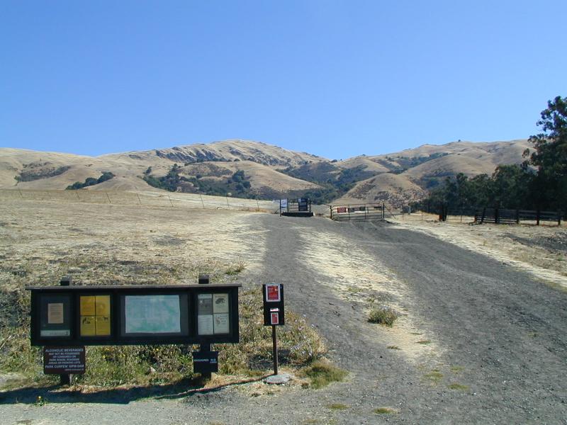
trail, which starts in a parking lot at the end of Stanford Avenue in
Fremont, at an elevation of 400 feet. Here's a picture of the trail head, and
the parking lot (as seen from just beyond the trail head):
It took me about 2 hours to reach the top, and about 1:40 to return (plus about 30 minutes at the summit). I hiked a total of about 5.9 miles, which included a 2100 foot elevation change.
Here are some pictures from the way up:
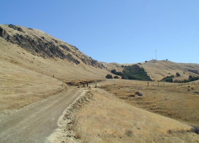
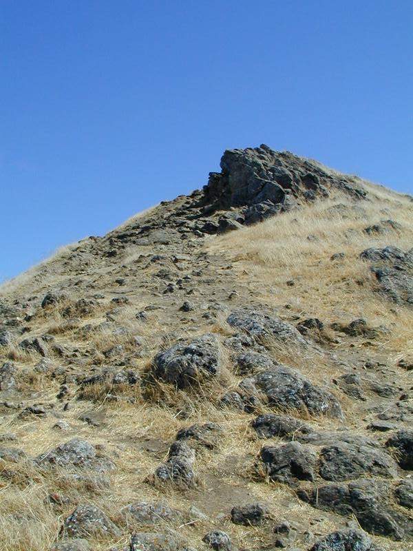
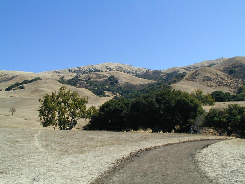 The trail, with the summit in the distance
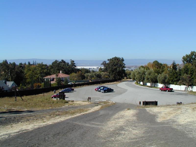
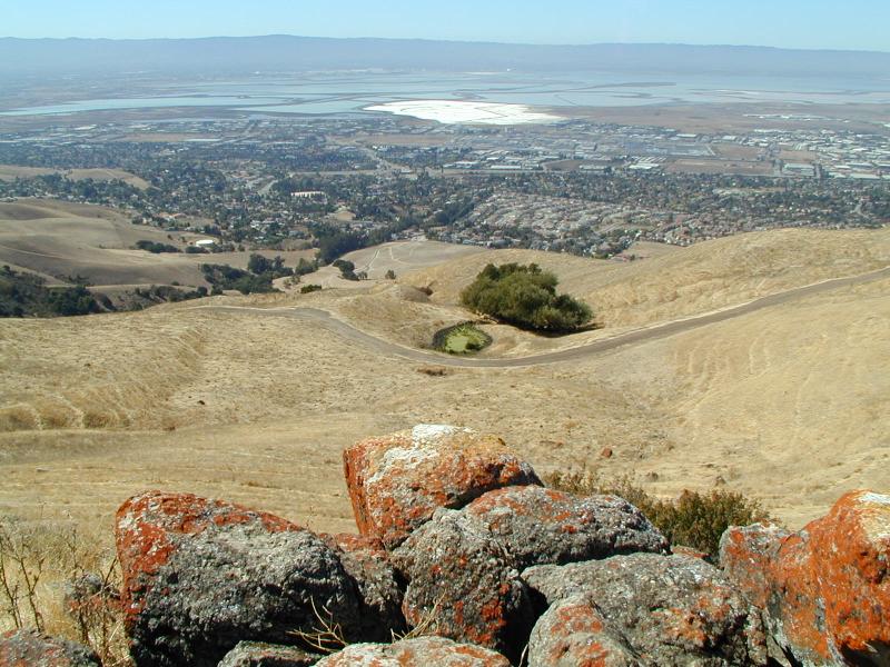
 Looking back from about halfway up (the parking lot is in the center of the
picture)
Looking back from about halfway up (the parking lot is in the center of the
picture)
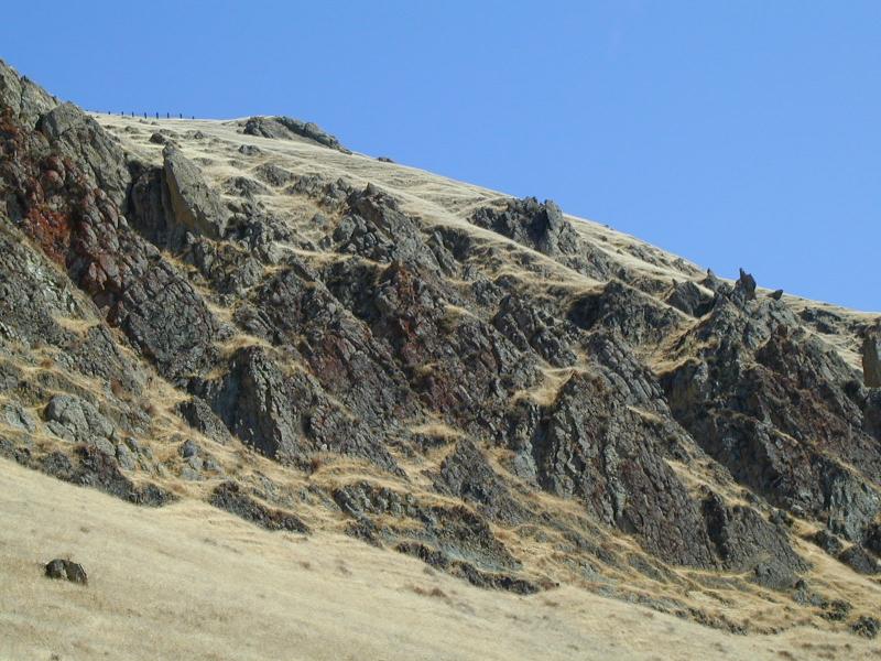
 Again, from higher up
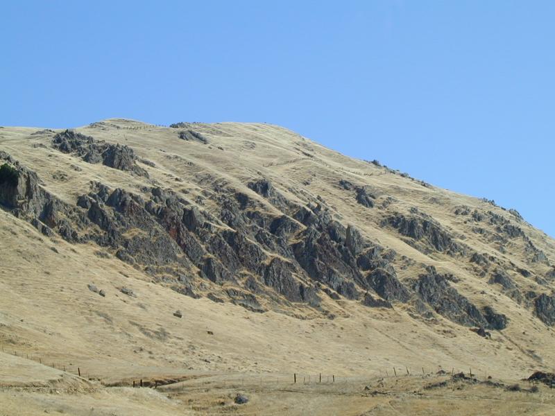
 On the left is Mission Peak, on the right (where the antenna is) is Mt. Allison.
On the far right (with a barely visible antenna) is Monument Peak.
On the left is Mission Peak, on the right (where the antenna is) is Mt. Allison.
On the far right (with a barely visible antenna) is Monument Peak.
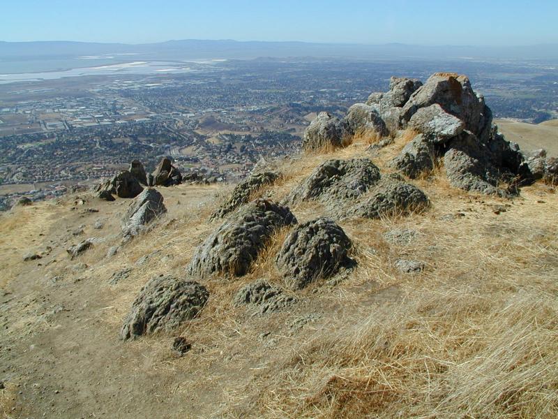
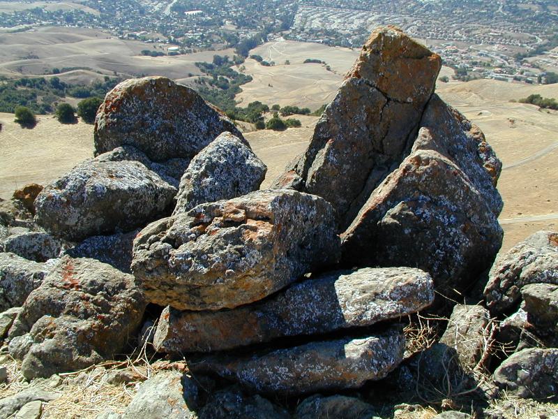
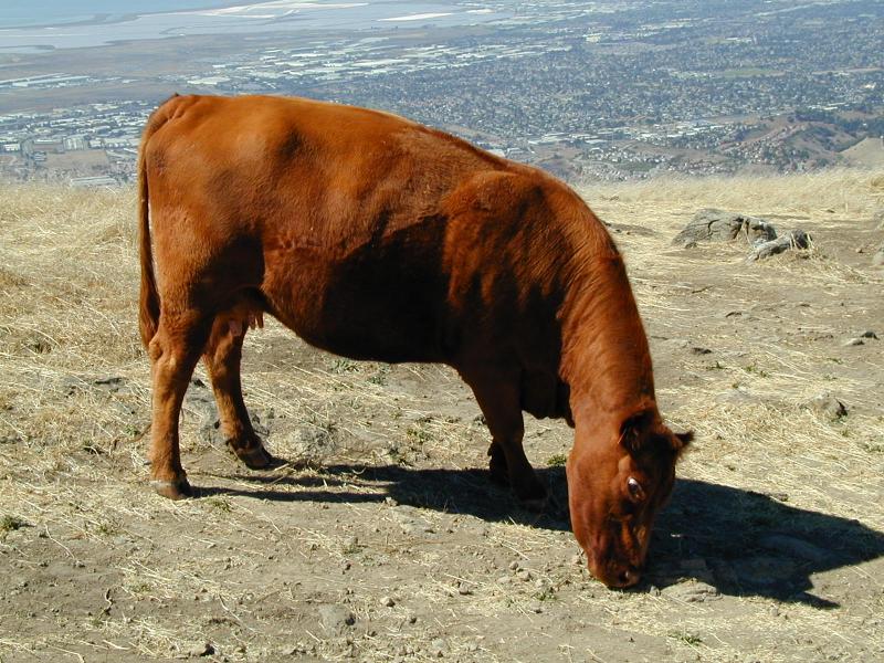
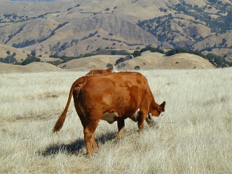
 Some additional shots of Mission Peak.
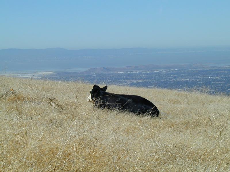
As I neared the summit, I came across some cows:
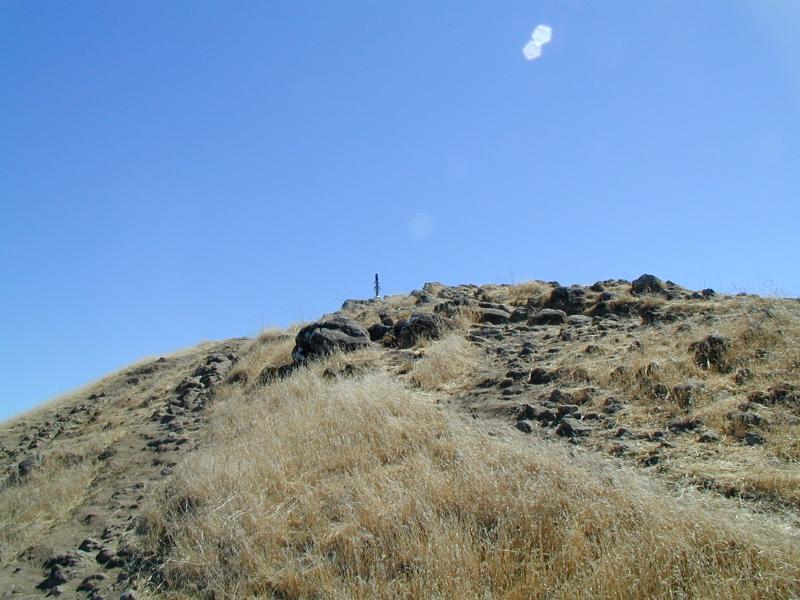
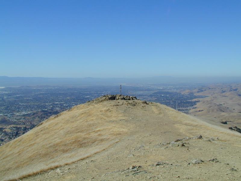
The final approach to the summit:
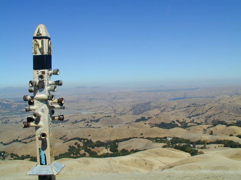
At the summit, there are two outcroppings, about 50 yards apart. The
western one has a pillar (visible in the above picture) with holes through which
you can look at various points of interest in the Bay Area:
However, the eastern outcropping has a survey marker. According to my
GPS (a Garmin eTrex Vista)
this survey marker is at an elevation of 2516.4 feet. Since the official
height of Mission Peak is 2517 feet, this suggests that this is the true summit:
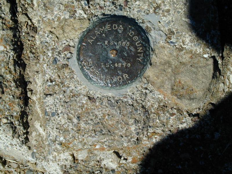
According to my GPS, the survey marker is located at N37º 30' 44.99" latitude, W121º 52' 50.94" longitude, with an elevation of 2516.4 feet. The pillar is located at N37º 30' 45.89" latitude, W121º 52' 53.13" longitude, at an elevation of 2510.1 feet.
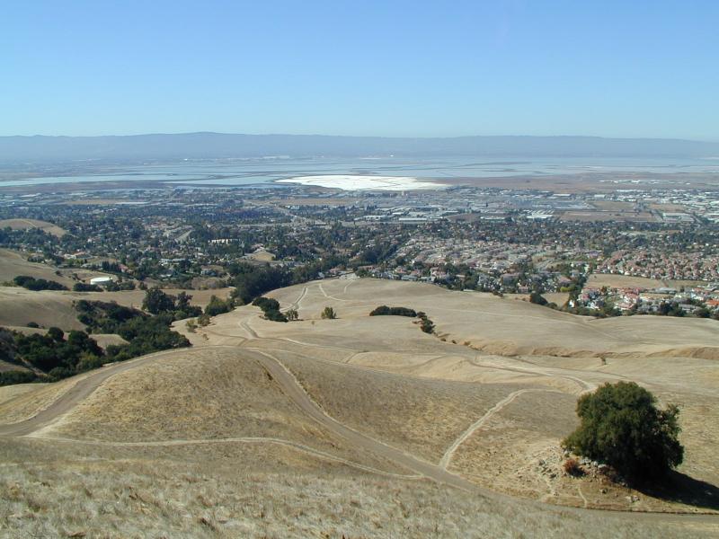
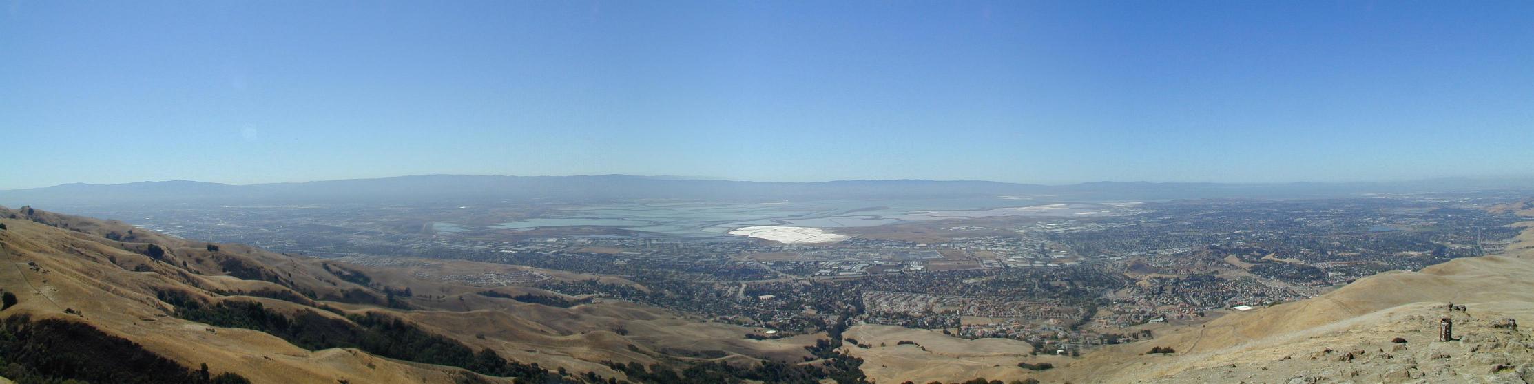
Here are some pictures taken from the summit, including a panorama of the
South Bay:

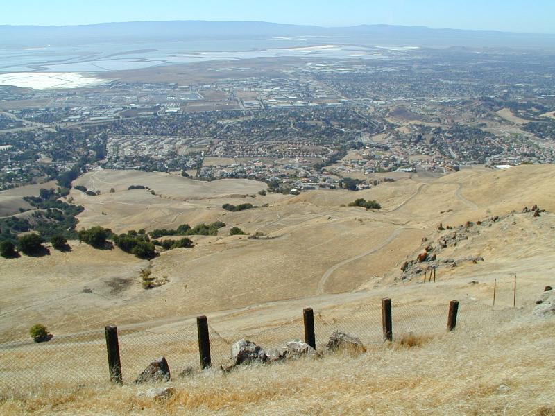
 (can you find the parking lot?)
On the way down, I took an alternate path that was, in retrospect, much too
rugged:

By the time I realized how rugged the path was, I was too far down to
seriously consider turning back. But at least I got an unobstructed view: